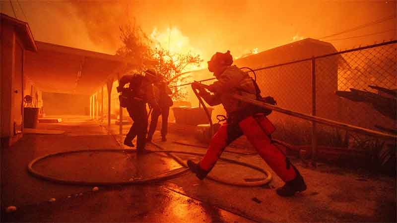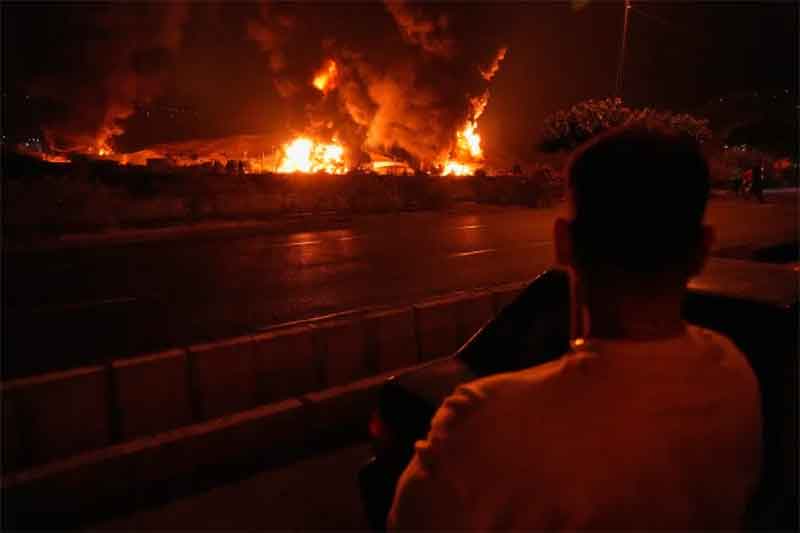
PARIS – Over the past year and a half, insurers have been pulling out of high-risk areas at an alarming rate. Nowhere has this been more obvious than in California, where wildfires have become more frequent and intense – the Los Angeles conflagration in January being only the latest in a series of devastating blazes. And it’s not just wildfires: the Golden State is also prone to large, damaging floods.
This poses an extremely complex and difficult challenge for insurance companies, which have understandably been struggling to cope. In recent months, a number of major insurers have paused new home policies in California.
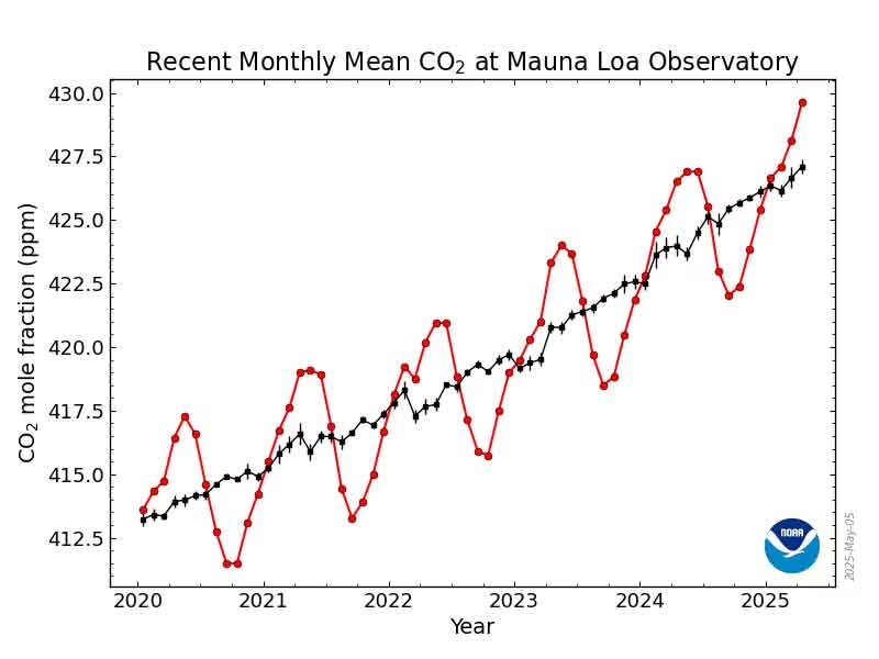
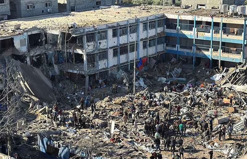
But the problem is not confined to a few unlucky places. The world is facing a perfect storm of accelerating climate change, economic instability, political unrest, cybercrime, and supply-chain shocks. These interconnected threats are causing natural disasters to become both more frequent and more costly. Insurers are frantically trying to continue providing coverage to their clients, as the traditional methods of assessing and pricing risk break down and the “protection gap” – the difference between insured and uninsured losses – widens. While there are no easy answers, insurers must evolve or risk becoming obsolete.
According to the European Investment Bank (EIB), every euro spent on prevention saves €5-7 in recovery costs. This points to a strong economic argument for insurers to shift their approach. By becoming active risk managers, rather than passive payers of claims, insurers would go a long way toward closing the protection gap.
The tools to do this already exist. Perhaps the most powerful is geospatial technology, which tracks risks in real time by using AI-powered tools to analyze data from satellite imagery and drones. Instead of relying on outdated models that are often based on decades-old historical data, insurers can use this technology to pinpoint which properties, businesses, or assets are especially vulnerable to natural disasters.
With this knowledge, both insurers and policyholders can act before catastrophe strikes. One might argue that little can be done for a home in the path of a wildfire. But this is not entirely true. The United Nations Office for Disaster Risk Reduction has shown that clearing dry vegetation around homes reduces the risk of wildfire damage. If insurers use geospatial data to identify at-risk areas, they and their clients can take simple steps – removing brush, building with fire-resistant materials, and even deploying private firefighting teams once a blaze has started – that could save billions of dollars in losses.
The same principle applies to flooding. Unlike hurricanes, which affect entire regions, floods can devastate one street but not the next. With real-time data, insurers can track flood paths and help people protect their homes before the water arrives.
A significant obstacle to prevention-based insurance is cost. Critics claim that the technology is too expensive, and that its data infrastructure is too complex, to integrate into insurance systems. They are not entirely wrong: such a pivot will require significant investment. But the cost of doing nothing is even greater. If insurers abandon high-risk areas, the protection gap will turn into a yawning chasm. Local businesses might find it impossible to secure financing. Entire regions could suffer economically. Governments may face pressure to step in with public insurance schemes, diverting resources from other priorities.
Insurers that embrace prevention, however, will have a clear advantage that goes beyond the savings projected by the EIB. They will be able to offer lower premiums to clients who implement risk-mitigation measures, reduce their own claims costs, and help create a more resilient world. After all, insurance is not merely for loss compensation (as important as that is), but for the protection of human lives and livelihoods. By embracing a risk-management approach based on geospatial technology, insurers would be fulfilling their purpose.
Subscribe to Our Newsletter
Get the latest CounterCurrents updates delivered straight to your inbox.
The rapidly escalating climate crisis has already upended the insurance industry. Simply retreating from risk is not a viable long-term option – insurers would be condemning themselves to irrelevance. Instead, they must adapt to the new normal by evolving the mindset they need to create a forward-thinking, technologically sophisticated sector that can play a crucial role in building a safer, more stable world.
Pierre du Rostu is CEO of AXA’s Digital Commercial Platform.
Copyright: Project Syndicate, 2025.
www.project-syndicate.org


