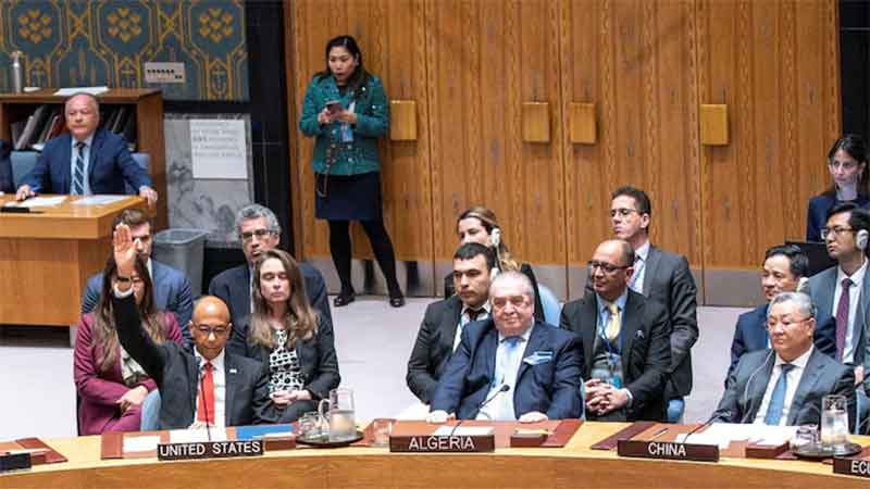
A recent seminar from the group “Visualizing Palestine” served to present four graphic representations of environmental problems within Israel/Palestine [https://visualizingpalestine.org/visuals/between-rising-tide-and-apartheid?v=large]
The graphics are self-explanatory and need no review here – they are after all graphic, and speak well for themselves. The discussion talked around the graphics, what they emphasized and how they are necessary for a clear understanding of environmental issues in Palestine.
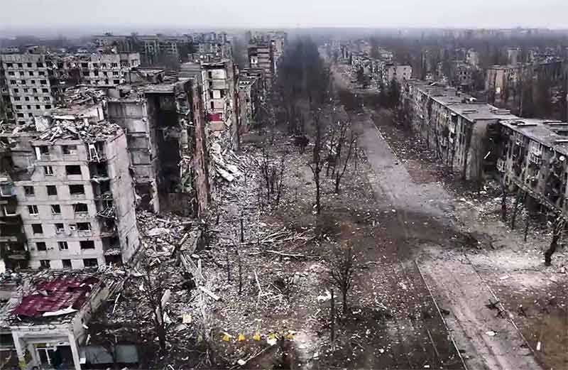
The overriding message of the environmental perspective of the discussion is that it cannot be separated from the colonial-settler geopolitical message. Colonial-settler actions are destructive and extractive for indigenous environments whether in Palestine or in other areas of European/western conquests. While not described as such, the presentation very well fits under the academic rubric of cultural geography – the effects of culture on geography and its corollary, how changes to geographical situations are used to create a dominant culture.
Cartography
One of the recurring issues was presenting maps, a graphic form that can reveal much about colonial destruction, settler extraction, and attempts to greenwash settler actions. In the public sphere aerial photography and satellite images are censored by the U.S. government [thus Google, Facebook et al] creating a situation where Palestinians “are alienated from our own cartography.” This has two main components.
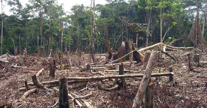
First, after the nakba and the destruction of over 500 villages and towns, the Israelis researched all Arab place names to be replaced with Hebraicized and/or biblical names. Most of the villages destroyed were “completely demolished”, “completely erased” through “manipulations of the map.” Further, more than 180 were concealed by parks and reserves, using non-native species planted on the land to conceal its original occupation. Israel has used this in a form of greenwashing, able to boast about the many trees it has planted and the forests and parks it has created, all the while eliminating any trace of “indigenous land.” [1]
Most people probably do not see this as an environmental issue per se, but the environment cannot be separated from either the geography or the culture of a place. The land is the people. These spatial representations make the visualizing of Palestine objective and factual. The one graphic/map on hazardous waste sites fully demonstrates the “toxic occupation” of Palestinian lands.
The most compelling statement made during the discussion on cartography was “…the settler-colonial imperative is to create private land…for profit” – a strong summation.
Women and youth
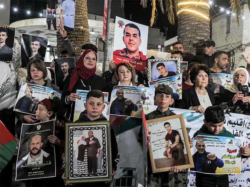
Climate change and environmental damage affect women and youth severely. Childhood diseases, due to malnutrition and poor water quality (particularly mentioned in Gaza) affects women as caregivers. Recent heat waves, the loss of electricity,and the density of refugee settlements have exacerbated women’s access to health care facilities and information. Women working in agriculture are not considered in studies and research. After displacement due to flooding women do double the work and most of the family recovery. All this – heat, floods, poor agricultural compensation – all have the most impact on women and thus the families they support.
The discussion on youth and the environment centered on the question of why or why not Palestinian young people would participate in the “school climate strike” actions as seen in many other countries. It comes down to the question of “Will I be alive tomorrow? What is more important, my surviving for another day, or protesting climate issues?” The latter would induce a reaction from Israeli interests in the form of military action or settler action to protest the “violence” of the youth protests. As for recycling, systems and geographies created under occupation do not allow for an interest in recycling efforts.
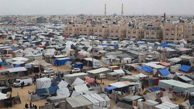
Gaza
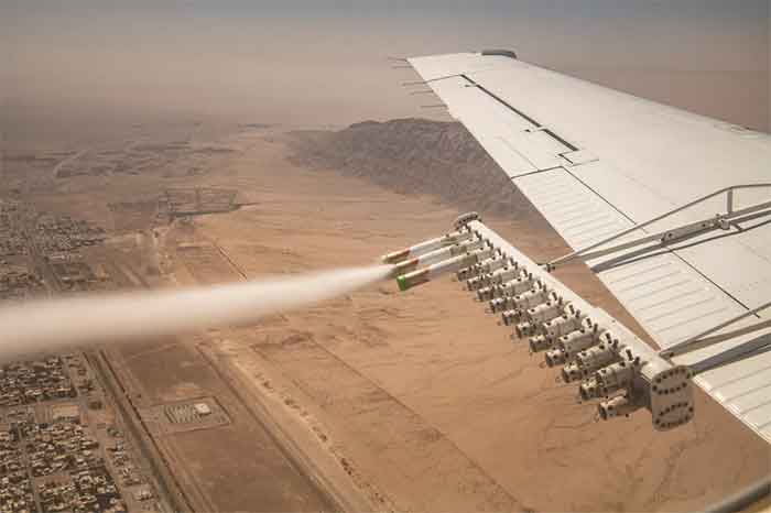
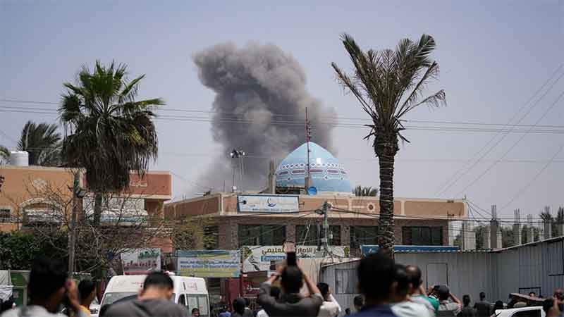
Gaza carried much of the discussion as it is an imprisonment enclave entirely controlled by Israel. [2] It suffers from issues as indicated above, from heat and flooding, but derived in part from this, food insecurity. In addition 25 percent of good agricultural land is in the “buffer zone” declared by Israel, a de facto free fire zone for the IDF. Israel controls food imports [3] and exports by way of the Gaza blockade. Military and foreign aid pressure is used to deliberately increase the cultural destruction of Palestine – the deliberate destruction of the emblematic olive tree is an attack on both food security and cultural identity.
The fifteen year blockade of Gaza has weakened and jeopardized Gaza’s infrastructure, in particular with water, waste water, and general pollution. Israeli water diversion and co-option of Palestinian agriculture (e.g. strawberries in northern Gaza marketed as Israeli production) seriously affects the food security of the population, now at 68 percent of the population, and only going to increase, as the “adaptive capacity” of Gaza is already exhausted; they are economically and socially/culturaly much more vulnerable to damages.
Cultural geography
The field of cultural geography covers the various topics raised in the discussion of the environment and its impacts on Palestine. Ironically from the title, apartheid was not discussed per se, but is evident through the discussions of parks, forests, erased villages, hazardous toxic waste sites, and Gaza, and is visible on the cartographic expression of the geography.
The graphic information presented by “Visualizing Palestine” is clear, immediate and easy to understand. It is an important addition to the overall struggle for freedom from colonial-settlerism, ethnic cleansing, and the apartheid nature of the system it creates.
Jim Miles is a Canadian educator
[1] A close up look at FATMAP, a guide for backpackers/outdoor adventurers, shows the many ‘forests and ‘nature reserves’ dotted throughout Palestine. [https://fatmap.com/adventures/@31.7896390,35.0302440,73433.1717309,-90,5.2513696,487.3418928,satellite]
[2] see also https://www.rt.com/news/410336-israel-sixdaywar-docs-gaza/
[3] and also – “The idea is to put the Palestinians on a diet, but not to make them die of hunger.” (‘Hamas readies for government, Israel prepares sanctions’, Agence France Presse, February 16, 2006) from https://www.medialens.org/2010/too-toxic-to-handle/