El Niño has officially made its way back after its years-long hiatus. NOAA announced on Thursday that the climate pattern system is expected to strengthen over the next several months.
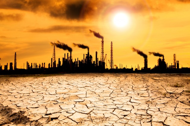
Climate scientists say El Niño will probably push average global temperatures beyond a record set in 2016. That year, an intense El Niño triggered deadly heat and precipitation and was linked to rainforest losses, coral bleaching and a rise in diseases such as cholera and dengue.
Media reports said:
The natural climate system comes as the Pacific Ocean experiences “warmer-than-average” surface temperatures. When that happens — every two to seven year — the system returns, generally spawning more rainfall in South America, winter storms in the U.S. West and South and droughts across Asia.
Michelle L’Heureux, a climate scientist at NOAA’s Climate Prediction Center, says that climate change can influence those impacts.
“For example,” she said, “El Niño could lead to new records for temperatures, particularly in areas that already experience above-average temperatures during El Niño.”
People in the U.S. would not feel the impacts of the phenomenon more strongly until the late fall through spring, NOAA says, but this year, it could be significant.
Forecasters say there is a 56% chance of a “strong” El Niño and an 84% chance of a moderate system developing, roughly the same estimate that was predicted last month. Either of these strengths typically results in “wetter-than-average” conditions from Southern California through the Gulf Coast, and “drier-than-average” conditions from the Pacific Northwest to the Ohio Valley, according to the National Weather Service.
Such impacts could be harsh on California, which spent the first part of this year battling heavy rains and snow that flooded vast areas of the state. The dry conditions could also be worrisome for the Pacific Northwest, as dry weather is one of the factors that can lead to the beginning and spreading of wildfires.
El Niño’s return also influences the 2023 Atlantic Hurricane season. NOAA says that the system’s influence on oceans and atmosphere suppresses hurricane development in the Atlantic, while increasing hurricane activity in the Pacific, where surface temperatures have warmed.
What impacts develop around the world in the coming months are difficult to predict — especially because scientists do not yet know whether or how the backdrop of human-caused global warming might affect how El Niño behaves. Earth’s oceans have already shown dramatic warming this year, even before El Niño’s arrival.
Scientists say no two El Niño episodes are identical.
“These links, they emerge from the long-term statistics,” said Flavio Lehner, a climate scientist at Cornell University. “It does not mean … it is going to look exactly like the long-term statistics predict.”
NOAA in April had declared that El Niño was rapidly brewing. That assessment came on the heels of three years in which La Niña — El Niño’s counterpart known for a cooling influence on global temperatures — dominated. A weak El Niño came before that, in 2018 and 2019.
The latest outlook says that El Niño’s influence on global weather patterns is forecast to build into this fall and winter. (Its name ties back to the fact that it often reaches peak intensity at the end of the year, around Christmas — it translates to “the Christ child” in Spanish.)
To determine El Niño’s arrival and its strength, scientists look at sea surface temperatures and wind patterns along the equator in the eastern and central Pacific Ocean. During El Niño, those waters are unusually warm, while key tradewinds that normally blow across the Pacific from east to west weaken or reverse direction altogether.
In a key zone of the tropical Pacific, surface waters were 0.8 degrees Celsius warmer than normal in May, NOAA said. That anomaly doubled from April to May.
Winds were increasingly blowing from west to east over parts of the Pacific during May, NOAA said.
Those conditions mean El Niño has domino effects on weather around the world, including droughts in Southeast Asia, southern Africa and parts of the Amazon and a tendency toward wet conditions across the southern tier of the United States.
El Niño is also known for diminishing Atlantic hurricane activity because it sends dry, sinking air over that ocean. But meteorologists say that may not be the case this year — the unusually warm ocean temperatures could counteract that effect.
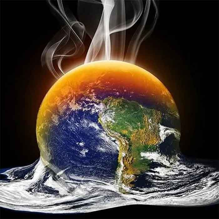
El Niño is associated with spikes in Earth’s average temperatures, as it encourages more heat to be trapped in the atmosphere. Given how much the planet has been steadily warming, scientists say El Niño could bring Earth close to a benchmark global leaders have sought to avoid — average temperatures 1.5 degrees Celsius higher than preindustrial times.
Even without meeting that threshold, climate scientists predict a new global average temperature record as early as this year, if not in 2024.
Scientists are still working to understand any relationship between global warming and El Niño, said Pedro DiNezio, an associate professor at the University of Colorado. There isn’t enough evidence to conclude whether the warming might tend to make El Niño more or less intense, he said.
But there is reason to hypothesize climate change is raising the likelihood of blockbuster El Niño events like the one that ended in 2016, DiNezio. That was one of three major El Niño episodes over the past 40 years, each with increasing intensity.
“That is suspicious,” DiNezio said.